
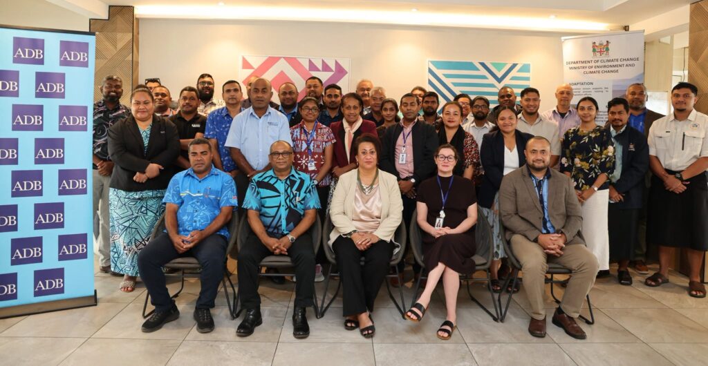
The Ministry has taken a step towards strengthening Fiji’s climate resilience by convening a national workshop to validate the country’s LiDAR Scoping Study, bringing together government agencies, development partners and technical experts to shape the future of geospatial planning.
LiDAR (Light Detection and Ranging) is an advanced mapping technology that provides highly accurate information about Fiji’s landscapes, coastlines, rivers and watersheds. The data will help improve planning for infrastructure, flood management, disaster preparedness, environmental protection and future development across the country.
While delivering the keynote address today, Director Climate Change of the Ministry, Ms Senivasa Waqairamasi, said reliable information is essential for making better decisions that protect communities and support sustainable development.
“LiDAR is not simply about technology or mapping. It is about giving decision-makers the information they need to reduce risks, protect vulnerable communities and improve the lives of all Fijians. It is an investment in knowledge, collaboration and resilience that will serve our country well into the future,” she said.
The workshop reviewed the findings of a nationwide scoping study, which assessed Fiji’s need for a national LiDAR survey and how the information could benefit sectors including agriculture, forestry, transport, water resources, biodiversity conservation and urban planning.
Participants shed light on how government agencies can work together to improve data sharing and establish a coordinated national approach that supports evidence-based decision-making and long-term climate resilience.
The Ministry acknowledges the continued support of the Asian Development Bank in supporting the study to strengthen the country’s climate resilience through improving geospatial information in Fiji.